We Read a Parcel's Story Across the Years.
Every farmland parcel carries a memory from its past, the live signals it sends today, and a trend for the weeks ahead. Tarımus brings these three timeframes together within a single boundary, making it measurable how nature, water and yield behave at parcel scale. Once you share your scope, a four-step path runs — leaving you with one thing to do: make the decision on clear evidence.
- 01
Scope and the Parcel's Memory
Your supply region, crops and parcels are defined; each parcel's behavior inherited from the past is set as the foundation of the decision.
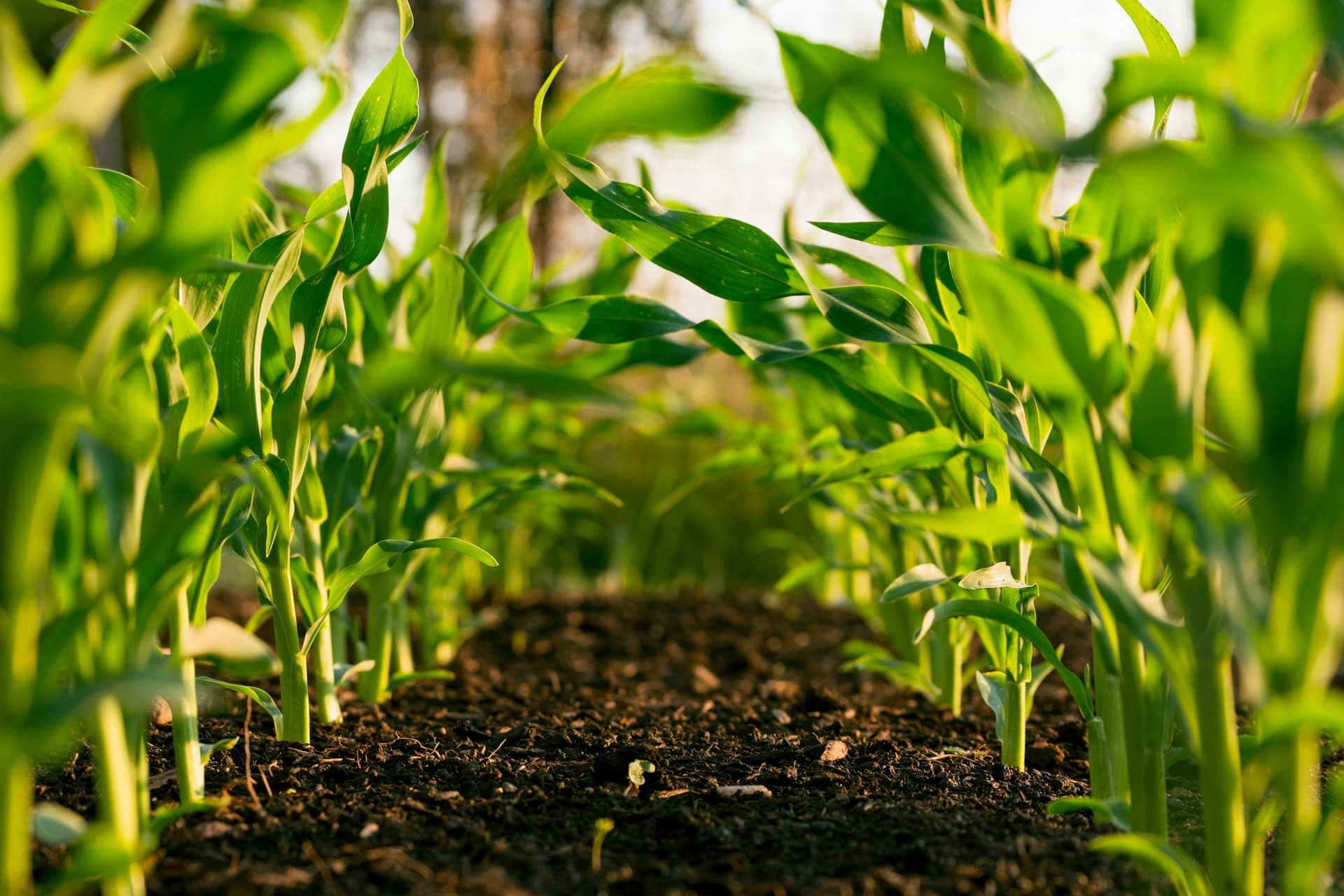
A parcel is not an empty point: it carries an accumulated memory of which hazards it experienced over the years, how often and at what severity, the unchanging character of its soil and slope, and the crop rhythm it held in past seasons. Optical and radar satellite observations, multi-year climate series, soil and topography, hydrology and historical event records are aligned to the same parcel boundary to make this memory readable; where cloud affects the optical observation, radar observation steps in and the two sources confirm each other. A ready base of more than 20 million parcels across 81 provinces is in play; parcels not yet in the pool, or added later, are brought into the same framework quickly.
- Hazard climatology: the historical frequency and severity of events such as drought, frost and flood on that parcel
- Fixed ground character: unchanging properties such as soil structure, water-holding capacity, slope and aspect
- Past-season rhythm: the sowing, growth and harvest cycles observed in previous years
- 20M+ parcels as a ready base; regional calendars for 81 provinces and 200+ crops aligned to the same boundary
- 02
Multi-Layered Reading Across Three Time Axes
The memory of the past, the live signals of today and the trend of the near future — the same parcel is read across all three timeframes at once, and each axis feeds a different one of your decisions.
On the present axis, the parcel begins to speak through the latest satellite and climate signals: crop health, water balance, phenological development and anomalies that emerge against the historical baseline draw the current picture and ground your in-season prioritization. On the near-future axis, frost, temperature, rainfall deficit and irrigation–spraying windows make forward operational timing visible. These three axes are processed with more than 30 analysis methods established in the academic literature — physical climate risk, the IPCC vulnerability framework, green/blue/grey water indicators, environment-relative productivity, yield forecasting — and without collapsing into a single score, each signal produces a separate answer to its own question.
- Present: current crop health, water stress, phenology and anomalies read against the baseline
- Near future: frost, temperature and rainfall-deficit forecasts; irrigation and spraying windows
- Water axis: green/blue/grey water separation and water-productivity indicators
- 30+ academic methods, not a single score; each axis speaks to a different institutional decision
- 03
Evidence, Confidence Level and Explainability
Every number can be traced back to the observation, historical baseline and comparison set it rests on; it arrives alongside a measured confidence level.
The value of a finding lies in being able to show where it came from. Every metric and calculation produced is linked to an evidence chain that retains which satellite pass, which climate series and which historical comparison it rests on, so an analysis can be reopened and traced back to its source even months later. Uncertainty is not hidden but measured: every output is presented with a confidence level that conveys how clear a signal it rests on, and you see how far you can lean on it for any given decision. Built on pure physics, mathematics and verifiable observation, this chain is also open to third-party audit.
- Backward traceability: every metric stays linked to its source observation and calculation step
- Comparison set: neighboring parcel, past season and regional average are retained explicitly
- Confidence level: alongside every number, the strength of the signal is stated as measured
- Reopenability: a finding can be re-examined later with the same evidence
- 04
Institutional Reporting and Delivery
Results that combine from parcel to portfolio are delivered in a format that fits your workflow and mapped to compliance frameworks.
Every result read at parcel scale combines consistently from village to district and from there to region and portfolio; the level you need is the reading at that level. The same data is taken as PDF, Excel, DOCX, API and dashboard — whichever fits your workflow; the same pool can also be queried in natural language, and answers come only from source-traceable data the system itself produced. Outputs are mapped to TSRS, CSRD/ESRS and carbon frameworks (GHG Protocol, PCAF, Verra); your compliance team uses the report directly instead of rebuilding it. You start with a pilot on a narrow scope, and once the first concrete result is visible, the same framework extends to a wider portfolio.
- Multiple formats: PDF, Excel, DOCX, API and dashboard produced from a single dataset
- Natural language: the same pool answers questions with source-traceable responses
- Compliance mapping: TSRS, CSRD/ESRS and GHG Protocol/PCAF/Verra frameworks
- Scale: the parcel reading stays consistent at village, district, province and portfolio levels
Assurance
We Make the Start Easy; You Make the Decision.
- Free preliminary study — you see the first output on your own parcel samples before the pilot begins, and assess up front what kind of decision you are getting an answer to.
- Fixed-price pilot — it starts on a narrow scope and expands within the same framework as results become visible; the cost is clear from the outset.
- Technical integration support — we plan the connection to your existing systems together; we don't leave the integration work to your team.
- KVKK-compliant data privacy — your data is kept isolated, your parcel geometry is not shared, and your evidence chain stays yours.
Invitation
Let's Write the Next Chapter of Agriculture Together.
Food company, exporter, bank, insurer, cooperative or ESG advisor — let's talk through a pilot report for your sourcing region or portfolio. We'll listen, and we'll show you.